ALTA/NSPS Surveys
For more than thirty-five years, we have been a leader in providing ALTA/NSPS land title surveys in PA and beyond.
Boundary Surveys
Physical limits are one of the first steps in defining projects, we provide accurate measurement to ensure your success.
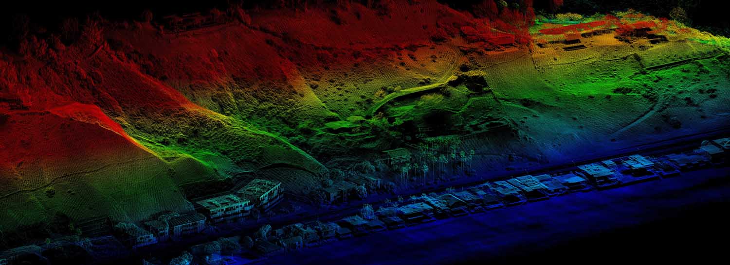
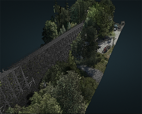
High Definition Sub-Centimeter UAV LiDAR mapping
We utilize flexible, precise and highly accurate LiDAR systems for large scale mapping and inspections services.
Civil Engineering Site Design
We provide solutions to the construction industry, specializing in the layout of complex column lines, footers and bolt patterns.


