- HOME
- SERVICES
- ALTA / NSPS Land Title Surveys
- LiDAR Mapping
- AEC Support
- All Services
- Professional Land Surveying
- Legal Description Preparation
- Traffic Planning Surveys
- Site Construction Layout
- As-built Survey Mapping
- Volume Surveys and Reports
- MEP Scanning and 3D Imaging
- Revit BIM Modeling
- Bolt Pattern and Plate Surveys
- Steel Erection Stake-out
- Control Surveys
- Utility Route Surveys
- National Flood Insurance Program
- GPS Survey Services
- Boundary Surveys
- Sub-surface Utility Surveys
- Structural Scanning and 3D Modeling
- MARKETS
- ABOUT US
- CONTACT US
Construction projects require effective planning, from initial design to final inspection and commissioning. Our wide range of design and construction support services enhance our client’s ability to meet schedules and budgets while providing differentiating value.
We continually look for opportunities to enhance deliverables in an effort to add value for our clients. Our use of LiDAR and laser scanning, along with our ability to quickly transform point cloud data to Revit and Civil 3D file, make us an excellent partner.

Biscon has a long history of working side by side with firms engaged in civil engineering design and site maintenance/as-built professionals.
Our support services have proven to enhance our client’s ability to meet schedules and budgets while providing differentiating value. Our deliverables are client differentiated using the client’s CAD specifications that add value to our end users.
Our use of LiDAR and laser scanning, enables us to quickly and cost effectively transform point cloud data to Civil 3D files. We have continually expanded our range of services to better serve our clients. With our following list of services, we are able to provide feature information for subsurface utilities, surface topography/planimetric details and boundaries.
A wide range of our services include the following:
- Boundary Surveys
- Topographic and Planimetric Surveys
- Utility Surveys
- Subsurface Utility Location Surveys
- Aerial LiDAR Mapping
- High Resolution Scanning
- 3D Modeling
- GIS Mapping
- Construction Feature Staking
By using high precision laser scanners, GPS, robotic surveying equipment and cutting edge software we are able add a level of accuracy to our deliverables never before achieved. Geospatial technology information gathering and reproduction is our specialty to service a wide range of clients.
Biscon provides critical solutions to the construction industry.
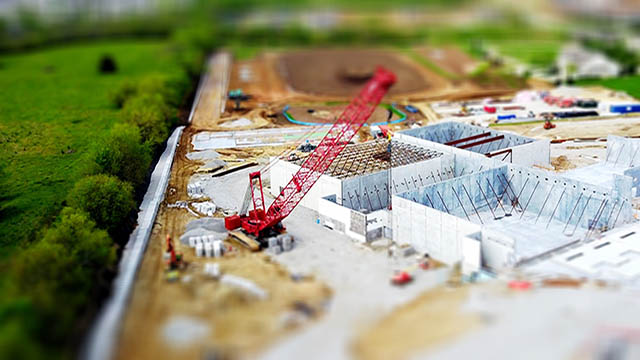
From site layout to foundation and steel erection, the first professional on a construction site is the surveyor and the last professional is the surveyor tasked to provide the as-built conditions survey and plan preparation. From conception to completion of a project, we provide services that enable the construction contractors to accurately place utilities, storm sewer systems, sanitary sewer facilities, roadways and buildings.
Our staff uses not only the latest in robotic surveying equipment and GPS technology but pools the vast experience of our decades of staff experience. We pride ourselves in our staff’s ability to read and understand plans that are available on site and may have had a breakdown in the electronic format. We will not send a surveyor into the field who cannot dialogue with the site planners, engineers, architects and the inspectors on the project.
Project leaders have come to rely on our ability to foresee any problems with plan design conflicts that may otherwise not be recognized by a less qualified project surveyor. A Biscon project surveyor is much more than a simple layout crew, they are critical members of a project’s team.
Construction projects require effective planning, from initial design to final inspection and commissioning. Biscon Aero’s wide range of design and construction support services have proven to enhance our client’s ability to meet schedules and budgets while providing differentiating value.
Biscon Aero understands the importance of contributing to our client’s value chain by responding to architects, engineers and contractors demands to providing reliable surveying and 3D scanning in a timely and cost effective manner. We continually look for opportunities to enhance our deliverables in an effort to add value for our clients. Our use of LiDAR and laser scanning, along with our ability to quickly and cost effectively transform point cloud data to Revit and Civil 3D files, make us an excellent partner for your construction projects.
Whether your project is a complex interior or exterior renovation, or a green field new construction project, we have the expertise to provide support through technology enhanced surveying and scanning.
We provide a wide range of professional scan-to-BIM 3D modeling service, utilizing the latest technology to convert survey point cloud data into 3D BIM models.
Using the Level of Detail (LOD) industry specifications as a guide, Biscon Aero will create a 3D BIM model for your projects mechanical, architectural, structural or electrical systems. Our interior and exterior 3D Models seamlessly and efficiently combines the 3D geometry and spatial relationships, ensuring the accuracy of the of all elements in its physical space within the project.
The real estate market has an ongoing need for Professional Land Surveying services.
Real estate transactions have many potential risks to both the property owner/seller and the agents representing them. All agents should know that the way to reduce the risk of litigation and the chances of not closing on the property. Large sums of money are changing hands in a real estate transaction and a survey is of paramount importance.
Property surveys can provide useful information critical to a transaction:
- Boundary demarcation
- Easements and right-of-way locations
- Public or private access information
- Zoning classifications
- Pertinent information required for proper communication with municipal agents
- Utility locations
- Existing improvements
- Essential in the formation of a legal description documents
As Licensed Professional Land Surveyors, Biscon Aero always provides a professional level of service to the agent, buyer, seller and financial institutions.
Title insurance policies and land surveys present a critical problem in residential real estate transactions. Mortgage lenders require a home buyer to purchase a title insurance policy in the lenders name. This is called a Lenders Policy.
Title insurance policies do not provide coverage for encroachments, easements and boundary line disputes which would be disclosed by a current certified survey. This is known as the Survey Exception. Mortgage lenders routinely do not require a Survey Endorsement to their loan policies, which limits the scope of the Survey Exception to the problems, disclosed by the survey. Home buyers should insist on Owners Policy with a Survey Endorsement.
Commercial Real Estate transactions in most cases require an ALTA/NSPS survey. Biscon Aero can provide ALTA/NSPS surveys throughout our market areas. ALTA/NSPS surveys provide a wide range of options for the detail for plan preparation. Review the ALTA/NSPS standards.
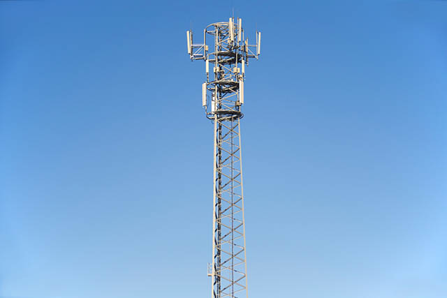
Long range 3D scanning is essential for mapping and modeling of existing or proposed sites for telecommunication towers or telephone lines.
Biscon Aero provides speedy, accurate and cost-efficient surveys and 3D scans services for the Telecom industry. Spatial data during these surveys is useful in finding ideal locations for telecommunication equipment (both the towers and paths), and its 3D modeling and topographical mapping abilities help to ensure that the infrastructure will function as designed. Additionally, even after successful telecommunication construction is complete, laser scanning is instrumental in troubleshooting and maintenance.
Laser scanning is capable of determining the size and position of antennas on cell towers without surveyors needing to gain access to the tower. Understanding bolt location and size can also facilitate tower upgrades. Scans are typically performed from the ground quickly and accurately. Scans can be used to produce an inventory of antennas / telecommunication equipment. It is safer and quicker and, more cost-efficient. Using point cloud technology, either 2D plans or 3D Revit models can be delivered.


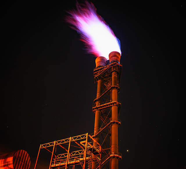
Successful oil and gas production depends on an understanding of geospatial landscapes. Biscon Aero has decades of experience providing services to the energy production industry.
Electric transmission and oil and gas routes, wind and solar energy production easements and existing conditions surveys are areas that Biscon has extensive experience in. We have extensive corridor mapping experience delivered in various formats.
Our aerial mapping group is staffed with experienced technicians, using the latest technology including LiDAR acquisition and data transformation services. In addition to aerial mapping, we use land based acquisition from fixed and mobile platforms.
Biscon Aero offers our clients a full range of innovative land and aerial data collection solutions.
By utilizing state of the art technologies, we are able to insure our clients that we meet all time sensitive and demanding standards of our client’s projects. Our use of traditional land surveying techniques coupled with UAV LiDAR and 3D laser scanning, makes us an excellent partner for your projects. Our mapping solutions can increase project efficiency and safety with minimal ground access and no loss of production at the site.
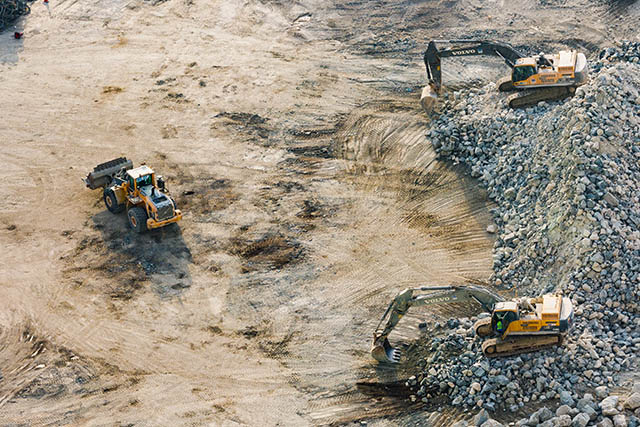
Whether you need stockpile volumes, topographic survey mapping, construction progress photography or continual progress exhibits our staff will provide solutions to your project requirements. Biscon Aero will always provide cost-effective solutions and we continually search for opportunities to enhance our deliverables to our clients.
